While some museums are closed again due to the Covid-19 pandemic, Apollo’s usual weekly pick of exhibitions will include shows at institutions that remain open as well as digital projects providing virtual access to art and culture.
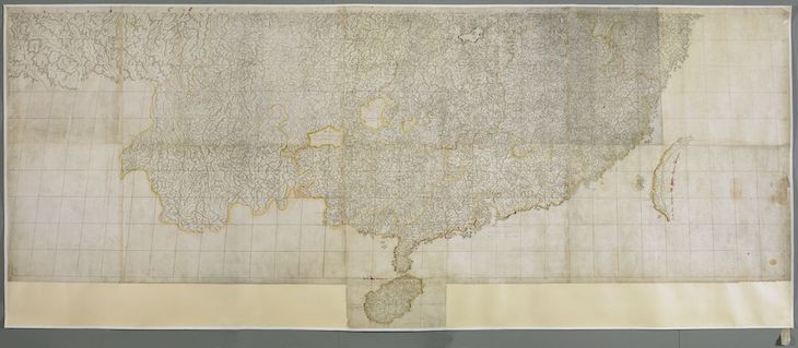
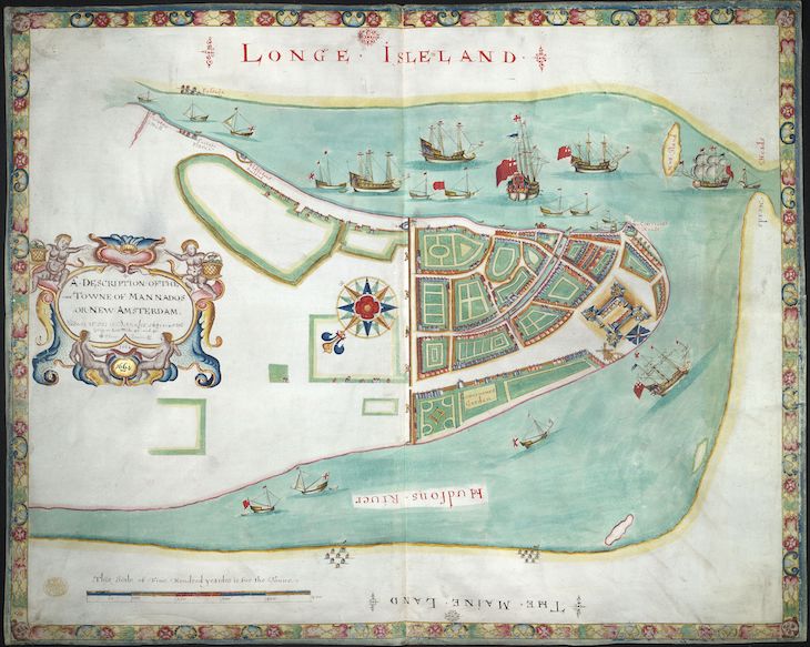
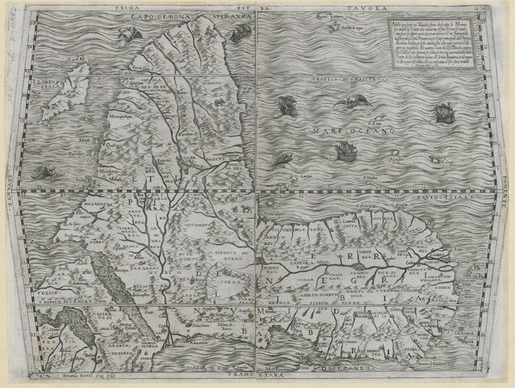
Early in his reign, George III decided to establish a royal library fit for a monarch of the Enlightenment; by the time of his death in 1820, the King’s Library was one of the largest in Europe. A notable strength was its topographical collections – with some 40,000 maps, atlases, architectural drawings and landscape watercolours, spanning the 16th to 19th centuries, it constitutes an unrivalled compendium of British knowledge about the geography of the world during the formative years of the empire. Over the past seven years the British Library – where the collection is currently housed – has been working to digitise these maps and views: the first batch of some 18,000 images is now online via the library’s Flickr page. Highlights include the vast Kangxi atlas of China made by the Italian Jesuit Matteo Ripa in 1719 and the ‘Duke’s Plan’ of New York, made to celebrate the capture of the city by the English from the Dutch in 1664. Browse the collection on the British Library’s Flickr page.
Preview below | View Apollo’s Art Diary here

A map of China and surrounding lands (known as the Kangxi map; c. 1719), Matteo Ripa. British Library, London

A description of the town of Mannados or New Amsterdam as it was in September 1661 (known as the ‘Duke’s Map of New York’; 1664), published by William Faden. British Library, London

Prima Tavola (1565), Ferando Bertelli. British Library, London


![Masterpiece [Re]discovery 2022. Photo: Ben Fisher Photography, courtesy of Masterpiece London](http://zephr.apollo-magazine.com/wp-content/uploads/2022/07/MPL2022_4263.jpg)
Suzanne Valadon’s shifting gaze